Client platform · Topocart
Geo360 LADM
The first land administration system in Brazil built on the ISO 19152 LADM standard, led while I was at Topocart.
As technical lead at Topocart, I drove the conception and architecture of Geo360's LADM-compliant module: a cadastral and land-registry system where parties, rights, restrictions and spatial units follow the international model instead of ad-hoc municipal schemas.
At a glance
- ISO 19152 Land Administration Domain Model implemented in PostgreSQL/PostGIS
- Rights, restrictions and responsibilities modelled explicitly, linking parties to spatial units
- Interoperable by design with municipal tax systems and national land-registry practice
- Reference implementation for later cadastral projects in the company
Context
Brazilian municipalities run multipurpose cadastres on data models that grew organically, which makes exchanging data between the cadastre, the registry and the tax office fragile. LADM gives a standard vocabulary for that problem: parties, basic administrative units, rights, restrictions, responsibilities and spatial units, with versioning built in.
What I did
I led requirements gathering with cadastral and registry stakeholders, designed the conceptual and logical model, and implemented the schema in PostgreSQL/PostGIS, keeping the standard's packages recognisable while accommodating what Brazilian practice actually needs. GeoServer publishes the spatial units to the Geo360 web clients. The work drew on the cadastral data modelling I had published during my master's research and on the LADM literature, and the module became the company's reference for interoperable land administration. Two of my publications came out of Geo360 deployments in Ceará municipalities.
More projects
All projects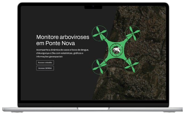
Dragonfly GeoAnalytics
A geointelligence platform that helps municipalities fight dengue, Zika and chikungunya with drone imagery and case mapping.
- React
- Mapbox
- Highcharts
- Express
- +6
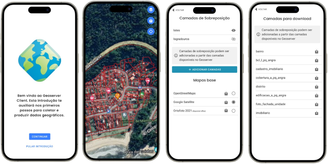
GeoServer Mobile Client
An offline-capable mobile client for GeoServer layers: download, view, edit features and export, built in three weeks.
- Ionic
- React
- TypeScript
- OpenLayers
- +2
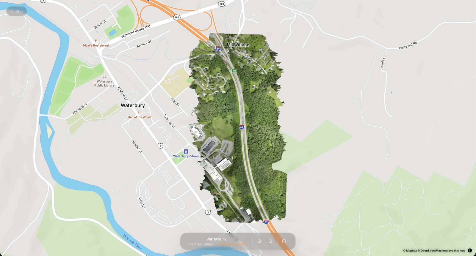
Territorial Maps
A SaaS for publishing drone imagery: upload from your computer, get web-ready layers and share instructions for any GIS.
- Next.js
- MapLibre
- Cloudflare
- n8n
- +3