Territorial product
Territorial Maps
A SaaS for publishing drone imagery: upload from your computer, get web-ready layers and share instructions for any GIS.
Territorial Maps takes raster datasets straight from a user's machine, generates tiles automatically, organises them by project, and produces ready-made instructions for opening the data in ArcGIS Online, QGIS and other clients. No GIS expertise or infrastructure required on the user's side.
At a glance
- Upload TIF, JPG or PNG; tiling and publishing run automatically in n8n-driven pipelines
- Project-based organisation with access tokens for controlled sharing
- Generated share instructions per GIS platform so clients can consume layers where they already work
- Next.js and MapLibre frontend deployed on Cloudflare
What it solves
Drone operators produce orthomosaics and then spend hours getting them in front of clients: converting formats, building pyramids, hosting tiles, writing instructions. Territorial Maps folds that into upload, wait, share. The processing pipeline and publishing model are the same ones that grew into Skyport, applied to a self-service product.
More projects
All projects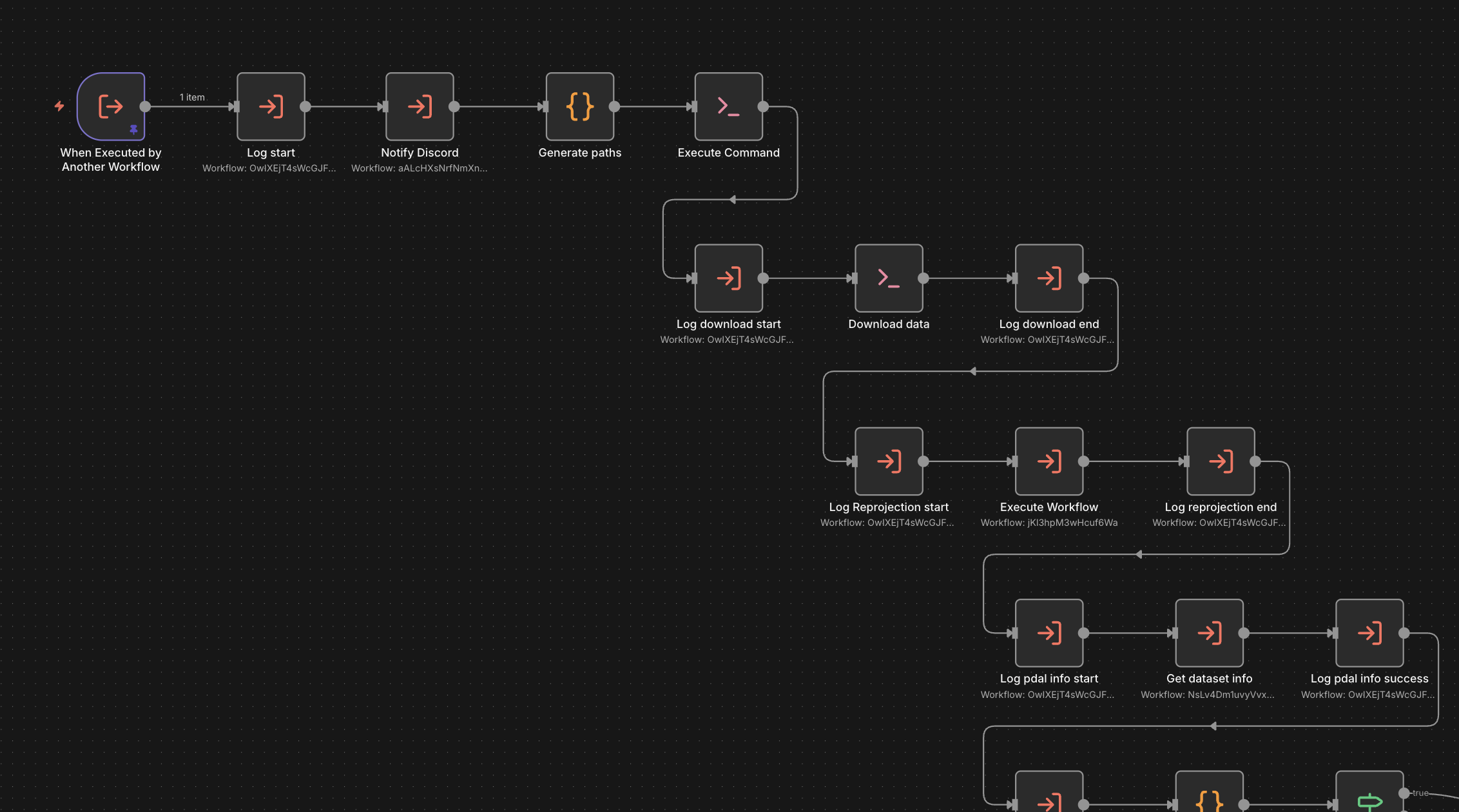
Point Cloud Publishing Automation
An n8n-based framework that takes raw point clouds to optimised Potree scenes, built as the backend of a SaaS.
- n8n
- PDAL
- Entwine
- PotreeConverter
- +3
Geoportal Itabirito
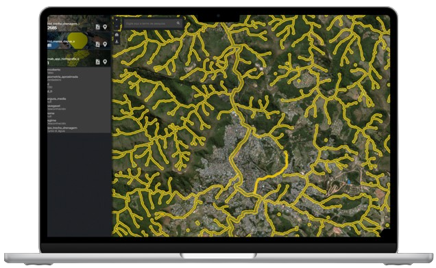
A public WebGIS that consolidates the multipurpose territorial cadastre of Itabirito, Minas Gerais, into one map.
- React
- TypeScript
- OpenLayers
- QGIS Server
- +1
- Draw a line
- API route
- PostGIS
- Profile
Slope
Draw a line on a map and get a live elevation profile computed straight from a PostGIS raster.
- Next.js
- React
- rlayers (OpenLayers)
- Plotly
- +3