Territorial product
Point Cloud Publishing Automation
An n8n-based framework that takes raw point clouds to optimised Potree scenes, built as the backend of a SaaS.
The first generation of the processing framework that later became MapPrism and part of Skyport: n8n workflows orchestrating PDAL, Entwine and PotreeConverter to classify, compress, tile and describe large point clouds with attention to speed and resource usage.
At a glance
- End-to-end pipeline from raw LAS/LAZ to Potree, with metadata generation
- Queue management for concurrent jobs and resource-aware scheduling
- Designed as a backend service for a SaaS front end
- The lessons from this framework are what motivated Ordo's contract-driven model
Notes
This was where I learned that workflow automation alone is not an orchestration model. The pipeline worked and processed real data, but tracking which artifact came from which run, and guaranteeing that a chain of steps either completed or failed visibly, needed a layer that n8n did not provide. That gap is what Ordo now fills.
More projects
All projects
Geoportal Itabirito
A public WebGIS that consolidates the multipurpose territorial cadastre of Itabirito, Minas Gerais, into one map.
- React
- TypeScript
- OpenLayers
- QGIS Server
- +1
- Draw a line
- API route
- PostGIS
- Profile
Slope
Draw a line on a map and get a live elevation profile computed straight from a PostGIS raster.
- Next.js
- React
- rlayers (OpenLayers)
- Plotly
- +3
Skyport
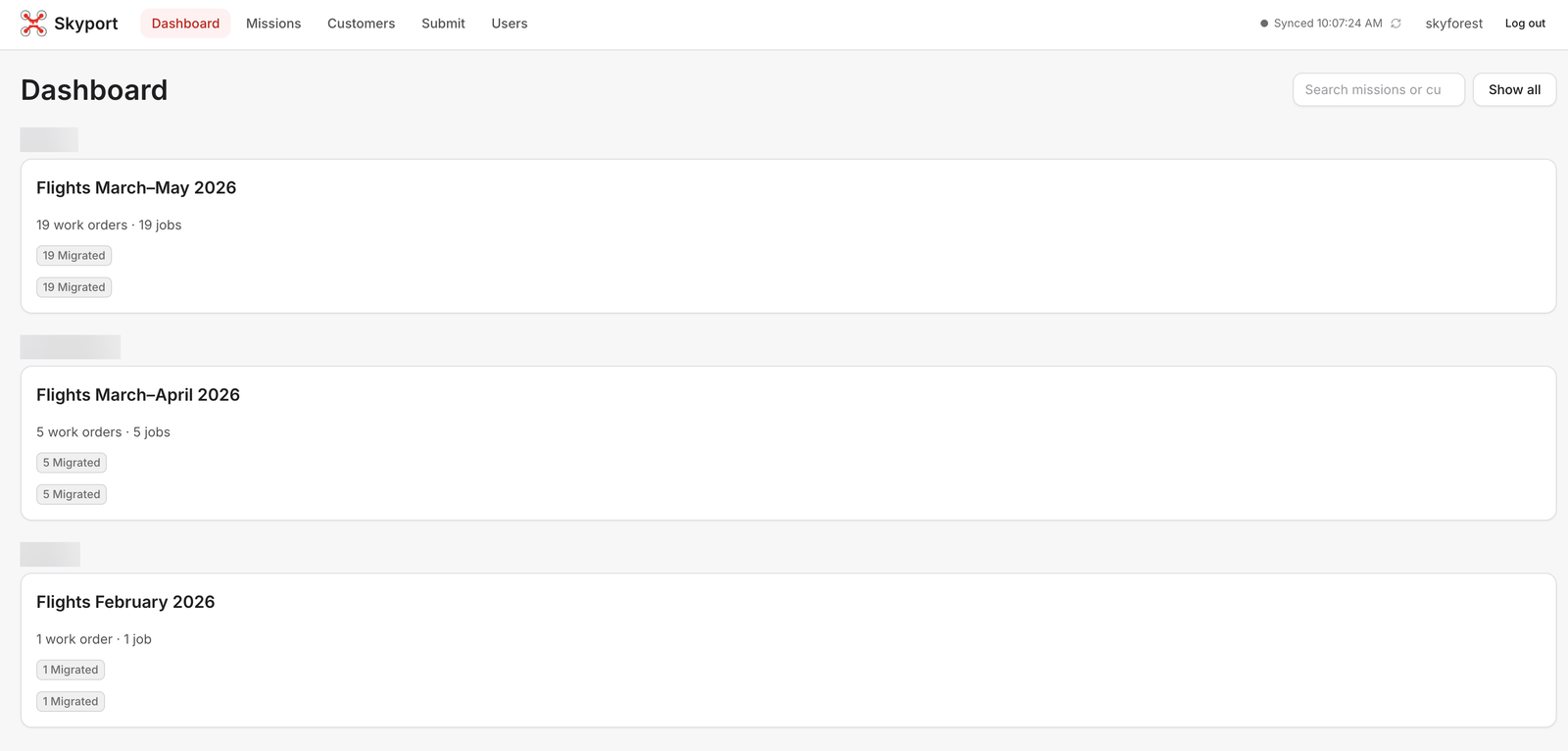
The operations platform that turns Skyforest's drone flights into finished map layers, end to end.
- n8n
- Ordo
- Next.js
- MapLibre
- +6